UX/UI Design · Geospatial
MI Surface Evaluation Application
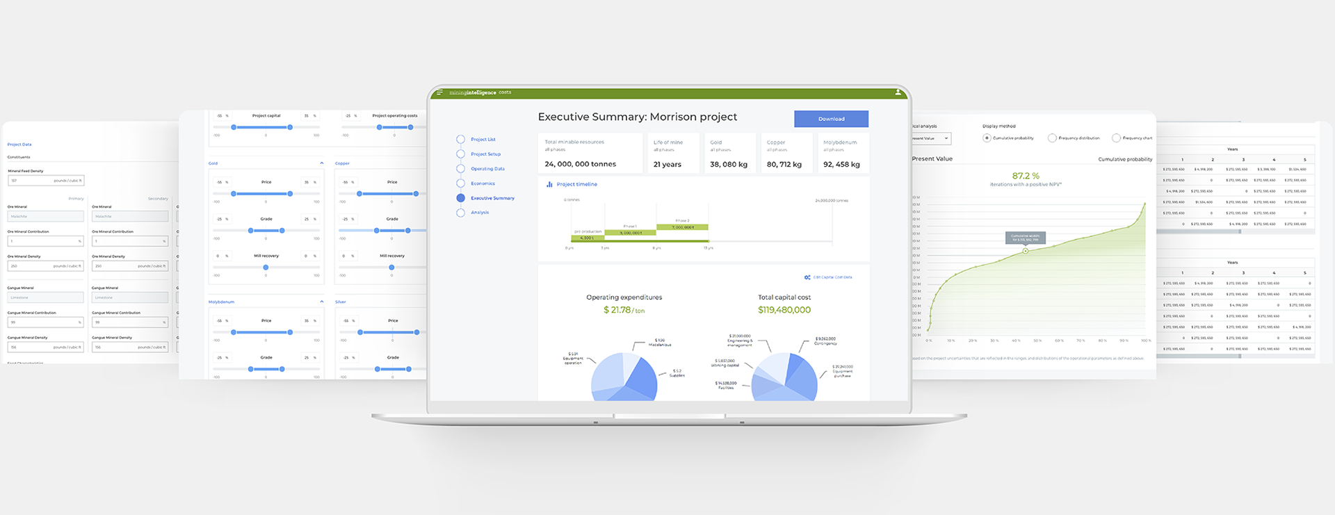
Integrating maps and data for surface site evaluation
Design of a surface evaluation application within the Mining Intelligence platform, enabling geologists and mining engineers to assess and compare potential surface sites through an integrated map and data interface.
Context-switching between disconnected tools
Surface evaluation at mine sites required engineers to cross-reference geological data, spatial maps, and quantitative scores across multiple disconnected tools. The cognitive load of context-switching was reducing analysis quality and slowing decision-making.
Precision-oriented domain specialists
Geologists, mining engineers, and site managers. Highly technical users with strong domain expertise and specific workflows built around existing disconnected tools.
Full design ownership from discovery to handoff
UX/UI Designer. Full design ownership from discovery to developer handoff.
2019 · Part of the Mining Intelligence platform.
The map as primary canvas
01
Workflow Mapping
Shadowed and interviewed geologists to map the full surface evaluation workflow and identify where disconnections created the most friction.
02
Map & Data Integration
Designed an interface that integrated geospatial map views with structured data panels—allowing engineers to spatially locate an insight and immediately access its underlying data.
03
Scoring & Comparison
Designed comparison views and scoring interfaces to support multi-site evaluation decisions.
04
Prototype & Test
Validated with engineers through prototype testing; iterated on map interaction patterns and data density.
Geospatial UX has one rule: never make users switch mental contexts. The map is the primary canvas—data must come to the map, not force the user away from it.
A unified map and data environment
↓
Reduced context-switching across tools
1
Unified map and data evaluation environment
↑
Analysis confidence for site decisions
Designing for specialists means designing for precision. Geologists do not forgive vague or approximate data presentation. Every value needed to be accurate, sourced, and contextualised—design decisions that look minor have significant credibility implications.